_Crear valor real a través de la innovación
Acompañamos en el desarrollo completo de aplicaciones y servicios GIS de valor añadido. En nuestra continua evolución tecnológica, estamos trabajando en el ámbito de GIS 3D, así como en Realidad Virtual, Realidad Aumentada y 3D ligado a fuentes de datos GIS.
Años de experiencia
Profesionales

Somos partners de ESRI desde 2002
Capacidades y servicios_
Ideamos para nuestros clientes soluciones de nuevos escenarios digitales y el desarrollo completo de aplicaciones y servicios GIS de valor añadido.
- Consultoría y desarrollo GIS
- Estudio del dato gráfico y cartografía
- Apoyo técnico (SAT)
- Entornos inmersivos virtuales
- Portales web y aplicaciones móviles
- Realidad virtual y aumentada
Confían en ALTIA_


_Generación de productos y contenidos
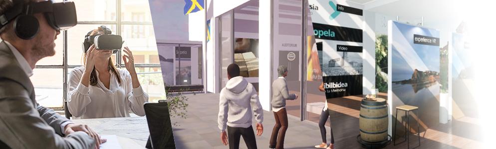
Desarrollamos interfaces 360 y 3603D para cualquier aplicación, oficinas de turismo en Realidad Virtual, museos virtuales, entornos virtuales para e-learning, simulaciones, stands virtuales para empresas y cualquier otro entorno inmersivo que puedas imaginar.
Visores Multiplataforma: 2D y 3D
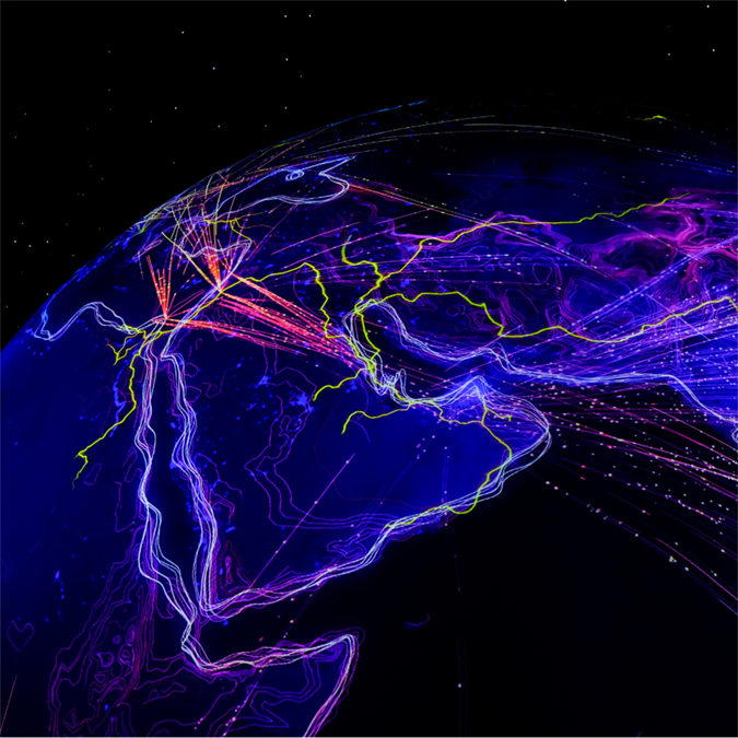
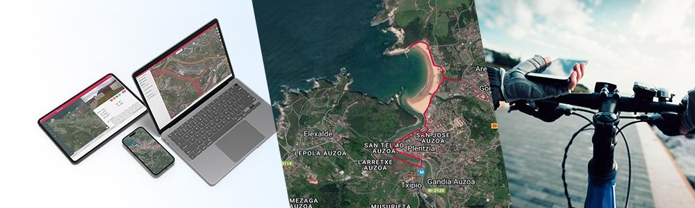
Contamos con una amplia experiencia en el desarrollo de visores GIS multiplataforma. Combinando información gráfica y alfanumérica de distintas fuentes de datos, obtenemos la visualización y análisis de los datos georreferenciados. Incorporamos las nuevas tecnologías en Network Analyst para el cálculo eficiente de rutas y análisis inteligente de redes de transporte.
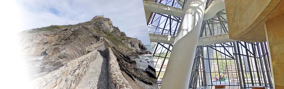
Entornos inmersivos: Recorridos Virtuales y Metaversos
Ideamos y desarrollamos entornos inmersivos basados en el mundo real o virtuales, en 360 y 360 3D, sobre los que las personas usuarias pueden desplazarse e interactuar con el entorno o elementos del mismo.
Modelizado 3D. Modelizado y 3D
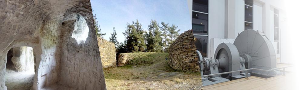
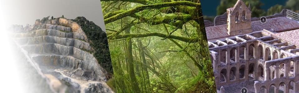
Utilizando las últimas técnicas de modelizado 3D y tomas masiva de datos con equipos de tierra y drones, realizamos modelos de alta precisión, con información BIM asociada si es necesario, que pueden ser utilizados en diferentes tipos de proyectos e integrados en aplicaciones GIS.
Realidad Aumentada: Información virtual sobre el mundo real
Ofrecemos experiencias digitales enriquecidas al superponer información digital, como elementos multimedia o datos georreferenciados, sobre una imagen del mundo real. Esto se logra a través de dispositivos móviles o gafas inteligentes, transformando la forma en que interactuamos con nuestro entorno.
Vídeo y fotografía. 360 y 360/3D
Uniendo la toma de vídeo 360 / 3D / 3D 360 con la obtención de información de la localización con GPS de precisión, realizamos trabajos de vídeo georreferenciado inteligente. Utilizamos equipamiento avanzado para realizar gigafotografía, fotografía de alta resolución.
GIS & Contenido Inmersivo en ALTIA_
_Partners tecnológicos